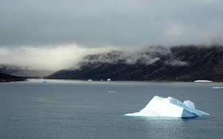
Researchers have identified another piece in the climate machinery that is accelerating the melting of the Greenland ice cap. The icy hills are responding to the influence of a higher command system: the clouds.
An international research team led by scientists from the Catholic University of Leuven in Belgium report in Nature Communications journal that cloud cover above the northern hemisphere’s largest single volume of permanent ice is raising temperatures by between 2° and 3°C and accounting for 20-30 per cent of the melting.
The conclusion, based on imaging from satellites and on computer simulations, is one more part of the global examination of the intricate climate systems on which human harvests, health and happiness ultimately depend.
Disastrous consequences
“With climate change at the back of our minds, and the disastrous consequences of global sea level rise, we need to understand these processes to make more reliable projections for the future,” says the study leader, Kristof Van Tricht, a Ph.D research fellow in Leuven’s Division of Geography and Tourism. “Clouds are more important for that purpose than we used to think.
“Clouds always have several effects. On the one hand, they help add mass to the ice sheet when it snows. On the other, they have an indirect effect on the ice sheet as well.
“They have an impact on the temperature, and snow and ice react to these changes by melting and refreezing. That works both ways. Clouds block the sunlight, which lowers the temperature. At the same time, they form a blanket that keeps the surface warm, especially at night.”
In one sense, such research changes nothing: scientists have repeatedly confirmed that Greenland is melting at an increasing rate as a consequence of increasing concentrations of carbon dioxide and other greenhouse gases in the atmosphere, as a result of the human combustion of fossil fuels that drives global warming.
Melting ice flows into the oceans, and sea level rise now seems inexorable. But what matters is the rate of rise.
“Over the next 80 years, we could be dealing with another foot (0.3 metres) of sea level rise around the world,” says Tristan L’Ecuyer, Assistant professor of atmospheric and oceanic sciences at the University of Wisconsin-Madison, and one of the study’s co-authors.
“Parts of Miami and New York City are less than two feet above sea level. Another foot of sea level rise, and suddenly you have water in the city.”
New imaging
Such conclusions are driven by data from new imaging and exploratory instruments in orbit aboard CloudSat and CALIPSO, two NASA satellites dedicated to examining the depth, thickness and composition of the planet’s cloud cover.
“Once you know what the clouds look like, you know how much sunlight they’re going to reflect and how much heat from the Earth’s surface they are going to keep in,” Dr L’Ecuyer says.
The snowpack melts a little during the day, and on a clear night, most of that would freeze again. But on an overcast night, the temperatures remain a little higher and less of the meltwater turns back into ice. The rest drains away to the sea. This knowledge will pay off in a more sure understanding of the rate at which sea levels will rise.
“Many of the countries most susceptible to sea level rise tend to be the poorest and don’t have the money to deal with it,” Dr L’Ecuyer says. “This is something we have to get right if we want to predict the future.”


