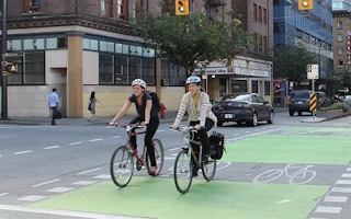
A participatory spatial survey will “crowd-source to crowd-solve” the best bicycle routes in every city across the globe using an interactive user experience map.
In a world-first experiment, AECOM’s Brisbane-based transport planner Rachel Smith, in collaboration with the urban design think tank BMW Guggenheim Lab, has launched the Dynamic Connections Map which allows riders with varying capability (confident, regular or potential) to rate streets where they live and work on their bicycle friendliness.
The map was first launched in Berlin as one of the BMW Guggenheim Lab’s “out in the city” projects.
Unsafe streets are identified by filtering the data in relation to factors such as safety, typical rider skill level, frequency of road use and purpose of travel, promising wide-ranging discussion and debate on routes favoured by both serious cyclists and casual enthusiasts.
Ms Smith said crowd-sourced data collection like that used in the Dynamic Connections Map would lead to outcomes that were “instigated by the people, for the people”.
She said with the Australian Government’s recently released Walking, Riding and Access to Public Transport report showing some three and a half million people – nearly one in six Australians – ride a bicycle at least once a week, and more than 8 million Australians ride at least once a year, the case for a better planned and more accessible bicycle network was clear.
“We need to get a grasp of community interest and to get a deeper insight into why people walk, ride a bike, catch the bus or drive a car,” she said.
“Coupling crowd-sourcing and crowd-solving, along with open and big data, can enable planning teams and government authorities to make the informed decisions based on current trends and real opinions rather than on historic data and assumed beliefs.”


